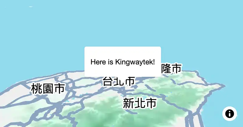
歡迎來到勤崴國際的 mapPlus GIS JavaScript Library!這裡匯集了豐富的 GIS 工具、數據和教程,無論您是初學者還是專業人士,都能找到適合的資源。加入我們,探索地理資訊系統的無限可能!
mapPlus參數說明以即可使用的方法
mapPlus版本更新紀錄
取得專屬於您的 Key 與 Token
安裝 mapPlus 到你的專案,開始開發地圖
mapPlus的參數說明
mapPlus可使用的方法
mapPlus可添加與監聽的事件
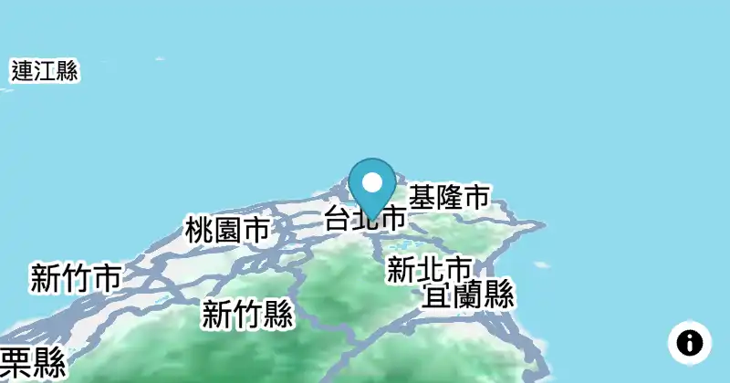
調用 new mapPlus.Marker(options),開始使用地圖地標API。
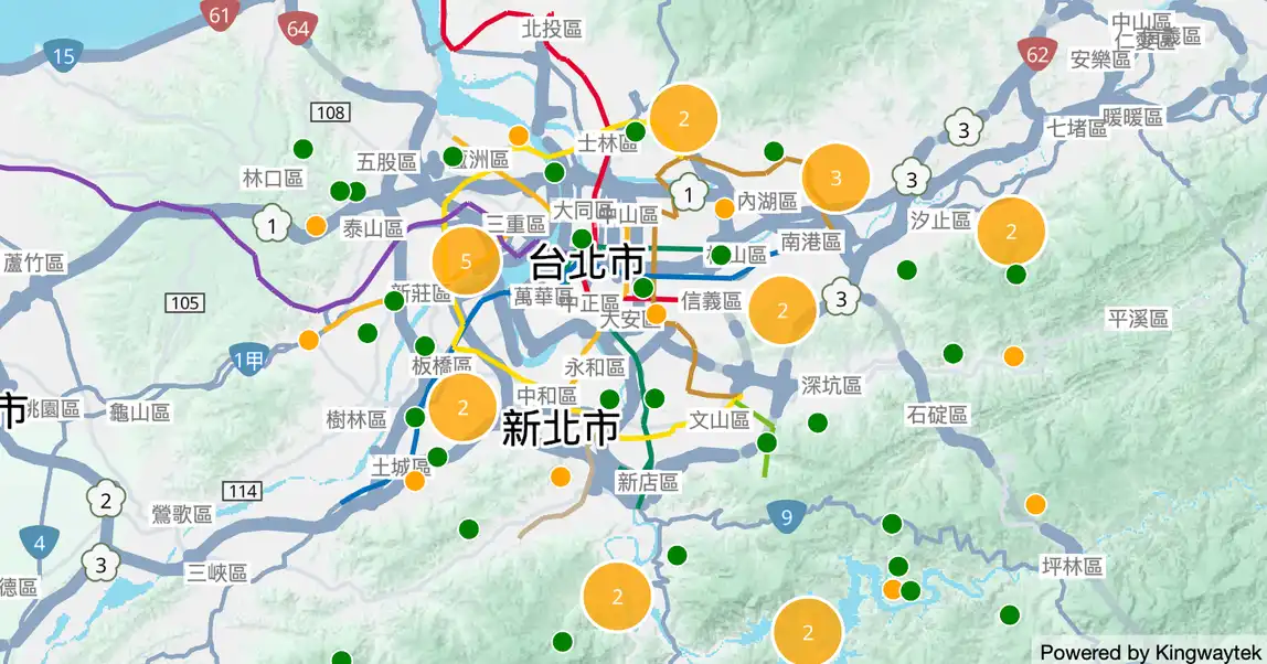
使用 map.data.enableCluster(true) 啟用叢集圖功能後,即可在地圖上以叢集圖的方式渲染資料層的點資料。
專門支援資料與渲染器的動態更新,調用 new mapPlus.DynamicCluster(options),開始使用動態叢集圖。
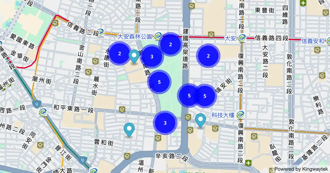
調用 new mapPlus.MarkerClusterer(options),開始使用地圖地標叢集。
調用 new mapPlus.InfoWindow(options),開始使用地圖訊息視窗API。
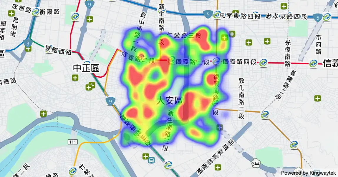
調用 new mapPlus.HeatmapLayer(options),開始使用地圖熱力圖功能。
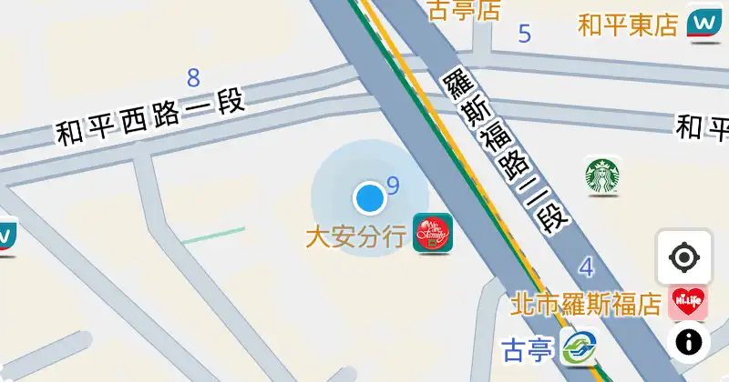
調用 new mapPlus.GeolocateControl(options),開始使用地圖定位功能。
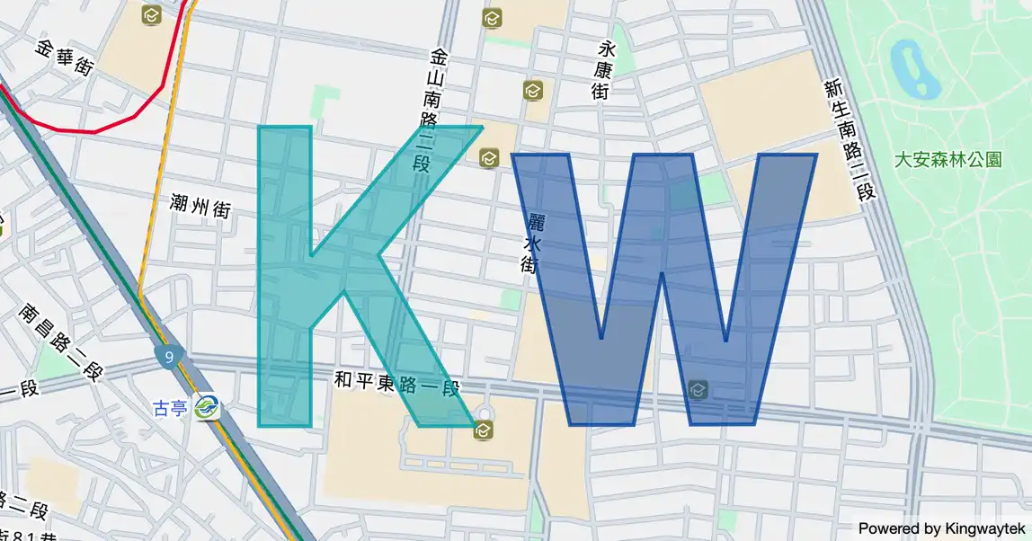
Kwmap 地圖資料層提供可存放任意地理空間資料的容器。您可以使用資料層來儲存自訂資料,或是在 Kwmap 地圖上顯示 GeoJSON 資料。
關於資料層使用API的詳細說明及範例。
透過 mapPlus PlacesService API 中的方法,可以搜尋地圖指定的地點。
透過 mapPlus DirectionsService API 中的方法,可以在地圖上規劃路線。
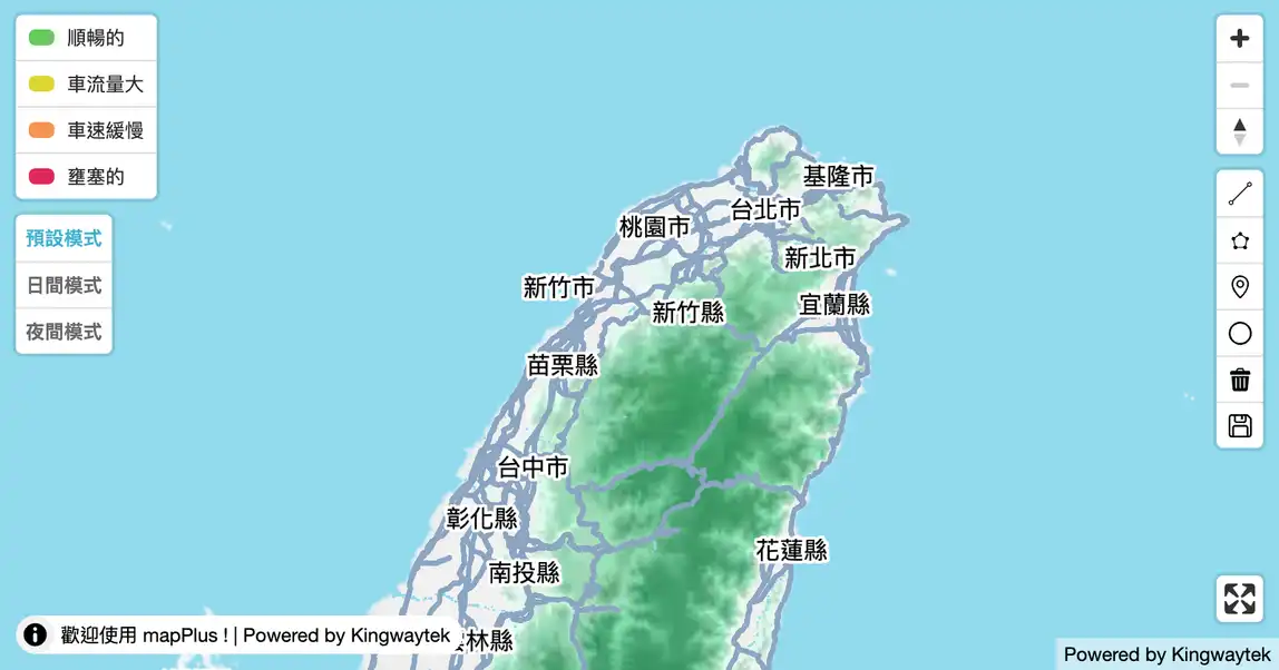
電子地圖上可添加的控制器
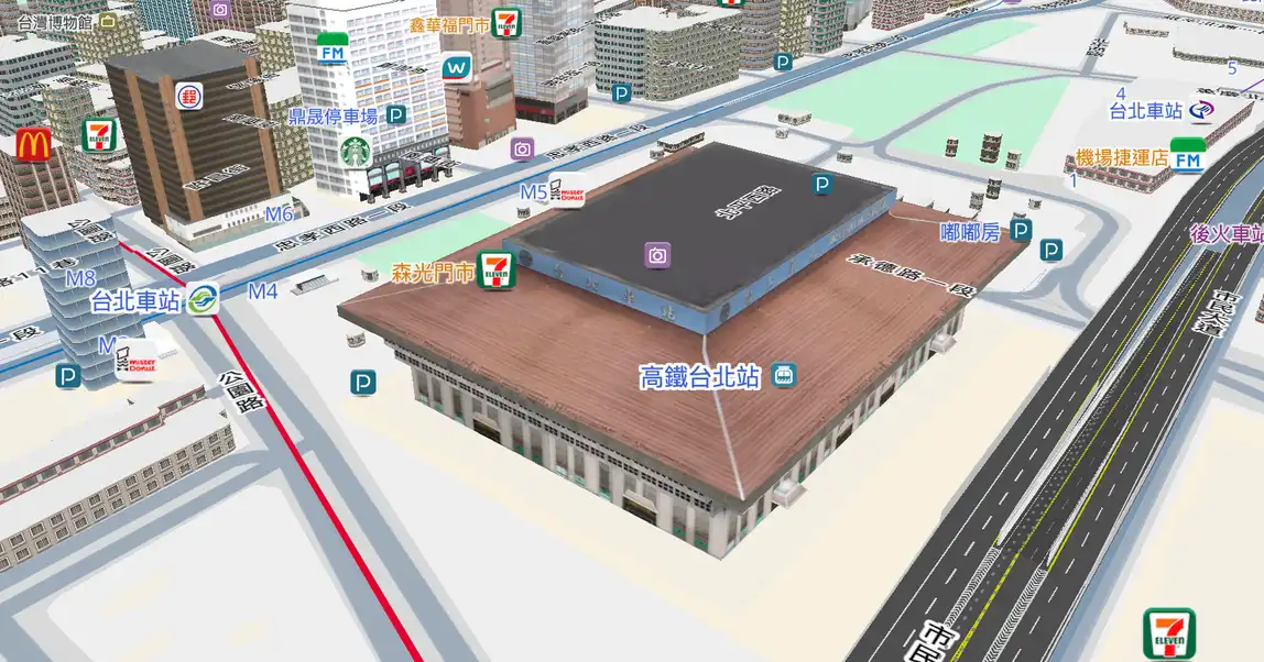
安裝 mapThree 到你的專案,開始開發3D地圖
使用 mapThree.prototype.three 創建 3D 圖層
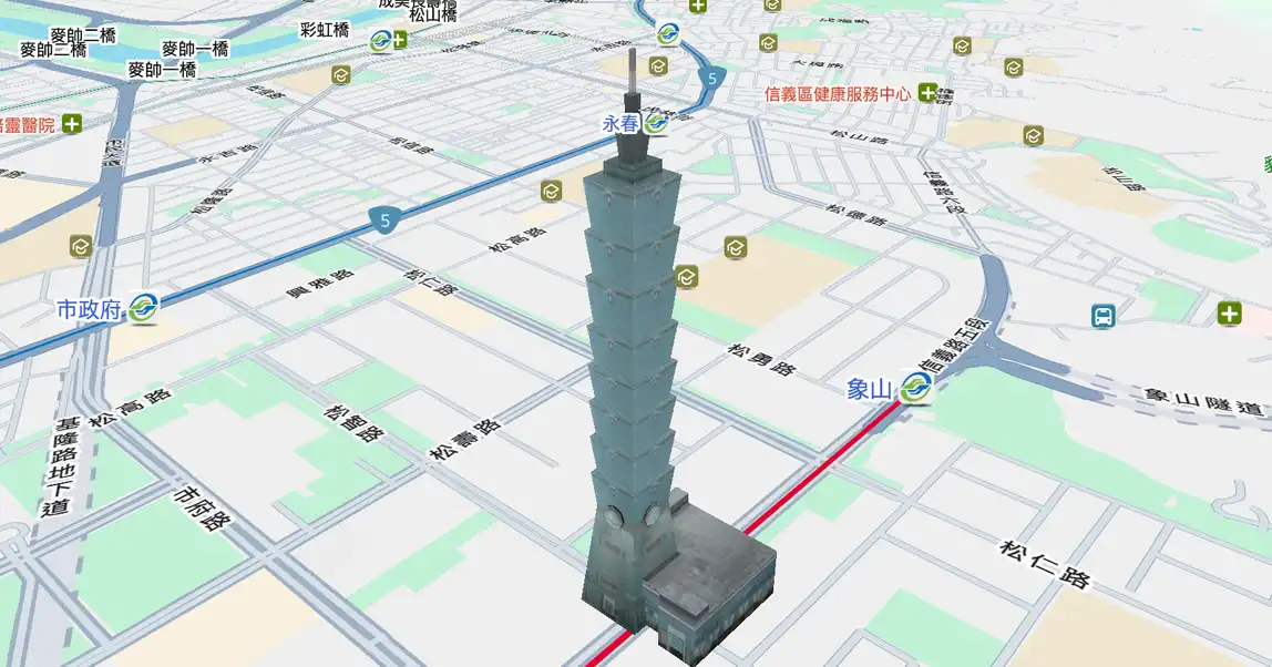
使用 three.add3dModel 建立 3D 模型後,開始操作 3D 模型